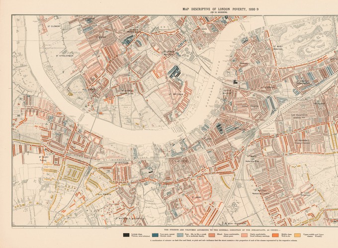
Abstract: Historical maps contain a wealth of information. They enable us to access rare data and reveal information that would have been otherwise lost in the archives. Access to historical maps can equip scholars of the politics of the Middle East with new data sources and a toolkit that allows them to address many unique research questions, ranging from implications of historical conflict to the roots of political and economic determinants of development in the Middle East. Historical maps can also help us understand the infrastructure that historically helped social movements develop and the implications of different repression methods on the fabric of the city. Recovering municipal and national boundaries and changes thereof (see Clark’s contribution in this symposium) can prove extremely helpful to understanding movement and migration across time and space and their implications. Historical maps can further be highly beneficial for research in the field of Historical Political Economy when researchers face the issue of missing or incomplete data sources such as censuses
Using Historical Maps for MENA Political Science Research. American Political Science Association (APSA) MENA Politics Newsletter